Services
I work with clients, providing exceptional consulting Geospatial services that are catered specifically to their needs.
Do you have a goal you’re trying to achieve but don’t know where to begin? Let me guide you. Take a look at the list of my services below, and contact me if you have any questions or special requests.
Geographic Information System
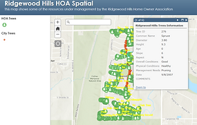
Are you interested in pursuing GIS capabilities in your company or gaining insight on the best ways to tackle some of your geospatial case challenges? We provide the latest GIS solutions and resources for all of our clients - contact us to know your needs and requirements.
Remote Sensing Imagery
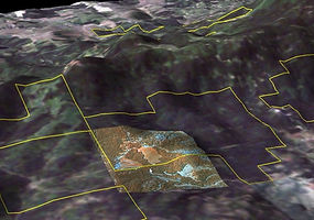
If your needs are timely data collection, our remotely sensing solutions include photogrammetric, multi/hyper spectral, LiDAR and near infrared imagery. We analyze its reflected and emitted radiation for classification and change detection vegetation analysis.
Mobile Applications
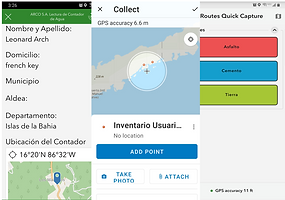
Do you need an efficient and robust way of collecting field data? We provide Online and Offline mobile applications capability throughout the use of convenient field data collection forms.
Database Management Sytems

Do you need to design, develop and implement your enterprise relational database management system? We can help. We offer enterprise database creation and maintenance used for real-time data interoperability during field work data collection and data submission.
Geospatial Analytics
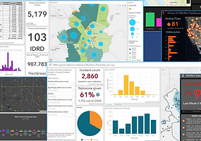
Do you need a dashboard? Dashboards display geospatial map information, tabular and graphical components. Dashboards allows to assemble assets information based on location to conduct analytics for managers to visualize the information on a single screen quickly and easily.
Assets Management
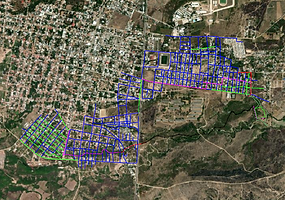
Do you need to know the status and conditions of all assets along the highway? We provide solutions for getting the inventory, inspection and maintenance of transportation assets along roadways. Safe access to file geodatabases On-premise or cloud server services.